- May 26, 2025
Data Management for Closure Outcomes: How Do You Know Your Data Is Good?
In mine closure planning, data is fundamental for informing key decisions, particularly when evaluating whether a prescribed closure strategy (like an engineered cover system) is performing as intended and meeting closure objectives. Accurate, accessible, and comprehensive geoscientific data are essential for assessing risks and optimizing mine closure designs.
Mine closure planning requires establishing and maintaining an integrated knowledge base that details data on the environment, localized climate, and material characterization. As mine closure practitioners, we leverage open-access tools such as the newly launched South Australian Resources Information Gateway catalogue, Geology Ontario, and the British Columbia Geological Survey Publication Catalogue to support our understanding of geological, hydrologic, and climatic factors of the site. These factors are critical for predicting process behaviours such as water infiltration and freeze-thaw cycles. Furthermore, conducting our own data collection of site-specific parameters help further establish our knowledge base.
As our reliance on these datasets grows, so does the need for strong data quality assurance and control (QA/QC). In this month’s Conversation on Closure, we look at best practices for data QA/QC and highlight how accurate data helps inform design decisions to improve closure outcomes.
Recommended Practice for Data QA/QC
To determine if a prescribed closure strategy is performing as intended, it is recommended to conduct a field trial before installing a full implementation of the closure prescription. For example, if a cover system was identified to be the closure strategy, conducting a cover system field trial helps determine if the cover system design is meeting closure objectives.
Early in a cover system field trial project, data QA/QC checks are typically performed quarterly, but as the project matures and results become more consistent, QA/QC checks may be reduced to annual assessments. Effective monitoring programs should be guided by the need to detect anomalies, emerging trends, and any non-functional components of the monitoring equipment.
Consistent and frequent data collection (e.g., monthly data downloads) is key, as it enables a comprehensive and dependable dataset. Consistent data collection, combined with routine QA/QC, supports timely anomaly detection and long-term data integrity, providing a strong foundation for clear data visualization and confident evaluation of closure strategies.
For example, during a cover system field trial aimed at reducing net percolation (NP), data interpretation through water balance calculation and NP estimation helps determine whether the cover system design is meeting its performance objectives. If monitoring data indicates the cover system is underperforming, it provides an opportunity to make necessary design modifications, such as using alternative cover materials, installing a liner, or contouring the landform to enhance drainage.
What is Our Data Telling Us?
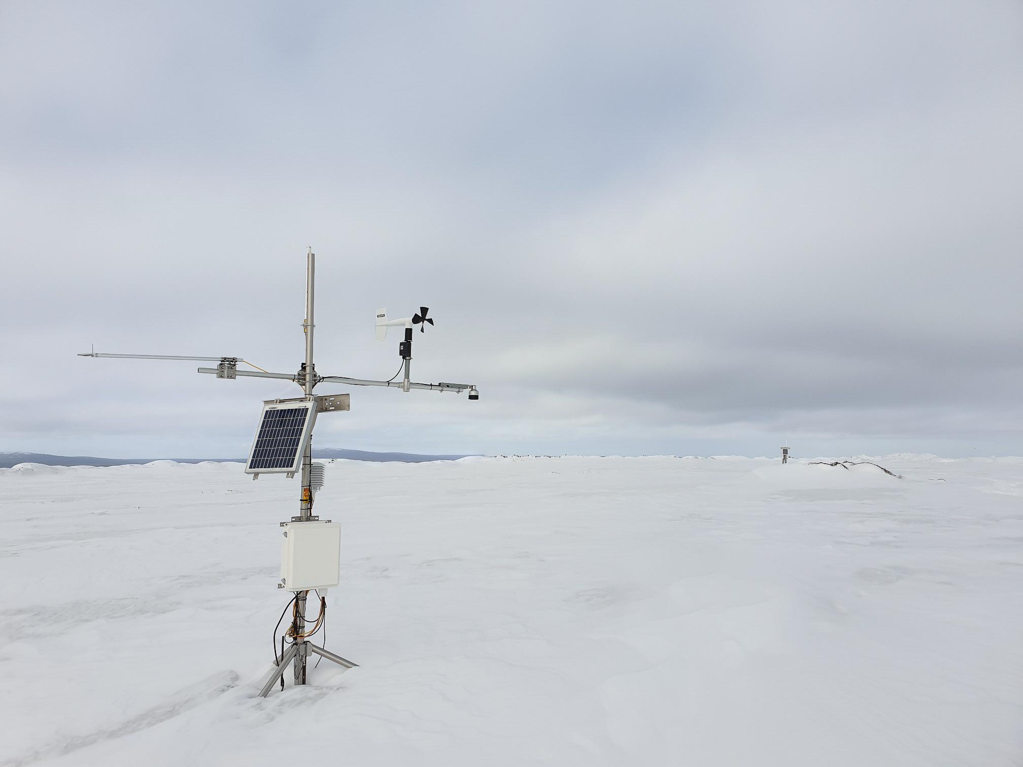
At a mine site in Australia, Okane has been supporting cover system performance monitoring for approximately 10 years at two mine rock stockpiles (MRSs). The cover system design includes plateau and sloped areas, incorporating compacted clay layers and geomembrane liners, respectively. The objectives of the cover system are to control oxygen ingress, limit rainfall infiltration, support woodland vegetation, and maintain long-term landform stability. Field monitoring instruments onsite measure meteorological conditions, soil water content, suction, interflow, and vegetation establishment.
Over the 10 years, meteorological records from both MRSs revealed significant annual variations in rainfall, with Years 7 to 9 being wetter than the historical average. Despite these deviations from expected climatic conditions, our performance monitoring data demonstrated that the cover systems performed as designed.
On plateau areas with compacted clay, the NP remained low on average, with recent years showing even lower values. Sloped areas with geomembrane liners showed near-zero to low NP, indicating the liners enhanced water shedding, especially during years with high rainfall.
Furthermore, data from eddy covariance systems measured over half of the rainfall was removed as evapotranspiration (ET), with higher ET readings recorded on plateau areas of the MRSs. These results suggested that established vegetation plays a key role in returning water to the atmosphere, validating the importance of incorporating vegetation on cover systems under both average and wet conditions.
In Year 10, our data analysis also revealed seasonal trends in soil temperature. Mine rock temperature at both MRSs aligned with ambient conditions, suggesting limited heat generation due to oxidation. This data demonstrated that the cover system is successfully minimizing oxygen ingress.
As a result, the data captured over the 10 years demonstrated the cover system functioning as intended—if not better. Based on these monitoring outcomes, we recommend monthly data collection, station inspections and maintenance, and annual vegetation surveys. These efforts will support our understanding of water movement within the cover system and, most importantly, inform opportunities to refine the cover system design to consider material movement in order to optimize the full implementation cost.

Note: Monitoring station (Okane Archives).
At a mine site in the Rocky Mountains of the United States, we are supporting the site demonstrate net percolation requirements for a cover system within regulatory standards. The initial cover system field trial involved installing a large-scale lysimeter to measure net percolation. The monitoring system measured precipitation, soil moisture, runoff, interflow, and net percolation.
Three years into the five-year study, the data indicated that the cover system was underperforming, as it did not meet the cover system objective for net percolation. Our assessment revealed new insights into cover material and climate conditions, which informed the calibration of a numerical model and a revised cover system design.
During the second cover system field trial, performance monitoring data showed limited precipitation infiltrating the soil surface in summer and then returning to the atmosphere as the soil dries. During snowmelt events, data recorded runoff generation, slowed infiltration at a buried layer, and interflow, observed by the height of saturation and flow measurements. Subsequently, the data showed deeper infiltration following snowmelt events, which lead to eventual net percolation.
Performance monitoring of the modified cover system demonstrated compliance with net percolation requirements, leading to regulatory approval of the modified cover system design. This data allowed us to closely track system responses to climatic events, improving confidence in the cover system’s long-term functionality.

Note: Data showing annual water storage from a field monitoring trial (Okane Archives).
Okane’s Approach
At Okane, our experience in developing and monitoring closure performance criteria involves assessing different parameters, such as conditions at adjacent sites and climatic history, to contextualize and interpret anomalous data. Supported by our advanced data management, we provide an integrated and quality-controlled environmental monitoring database that supports accurate analysis and reporting of site data, including weather, soil moisture and temperature, and water flow and quality.
Our data management service offers clients on-demand access to site data through a secure web portal. We conduct regular data reviews and provide concise data quality reports that demonstrate the status of site data and recommend any maintenance actions needed to support ongoing data collection.
The data we collect and interpret can be leveraged as modelling inputs for long-term closure performance, including the effects of climate change. Through water balance models, we can evaluate how well cover systems are performing relative to predictive models and whether they are functioning as intended.
For example, if soil sensors are installed at 10 cm, 20 cm, and 30 cm depths in a cover system trial, and the sensor at 20 cm reads higher water content than the sensors above and below it, this can be interpreted as evidence of preferential flow. Monitoring insights can be used to refine cover system design taking preferential flow into account when selecting cover materials, determining appropriate cover depths, or improving landform design to manage interflow more effectively.
Okane’s monitoring experience allows us to efficiently and confidently analyze and interpret site-specific data. This enables us to develop either adaptive management plans that support continual monitoring, assessment, and management of risks and uncertainties, or trigger action response plans to establish contingency measures. We collaborate closely with our clients to design monitoring programs that meet closure objectives and support long-term success.
For more information on how our monitoring and data management expertise can support your site’s closure performance, please contact us at info@okaneconsultants.com.